Left Husavik this morning about 0815 as we have a long day ahead of us! The weather was supposed to be 80-90% rain BUT it turned out to be a really nice day with mostly sun the whole day. There were two sights we were to see: one was a really spectacular canyon and the other was Europe’s largest waterfall. BTW where we spent the night, Husavik, is about 34 miles south of the Arctic Circle and we headed north for about another 15 miles.
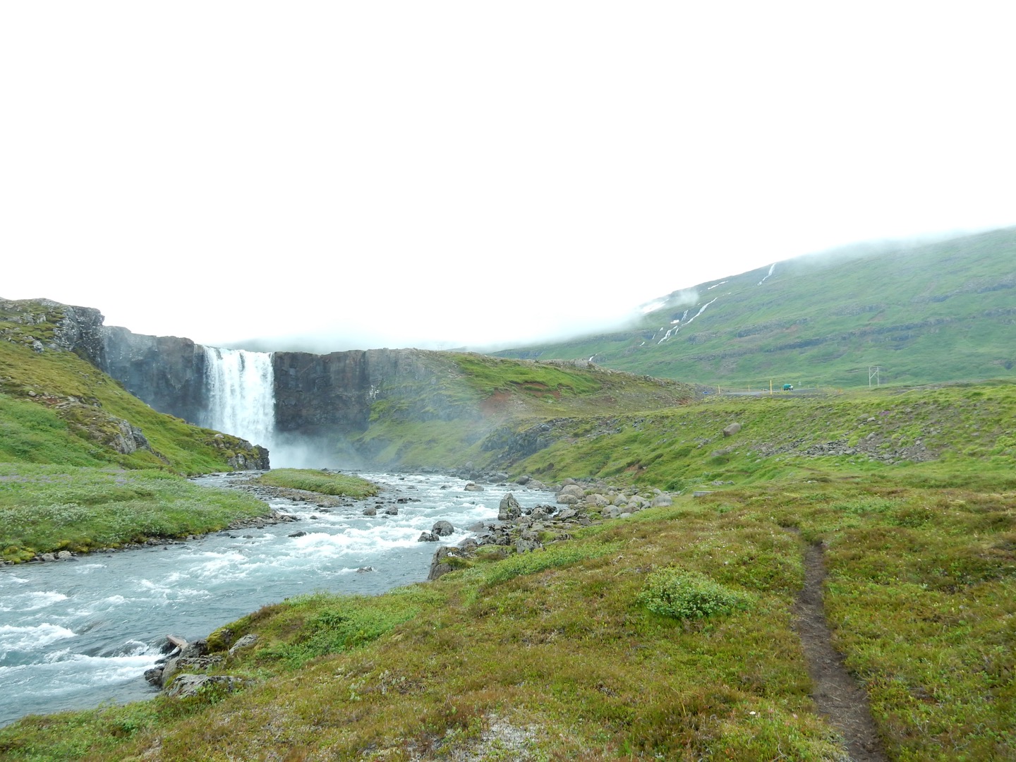
Well, the canyon did not work out as the road was marked for 4×4 vehicles only – we have a 2 wheel drive so scrubbed that one. The next stop was the waterfall which was supposed to be on a very rough road and indeed it was!!!!! The worse dirt road we have been on. Getting there, about 26 km was not too bad but continuing south after the waterfall it was brutal sometimes doing about 10-15 km/hr. for another 20+/- km. The waterfall was really nice. Patricia and I found it hard to believe that this was the largest waterfall in Europe though! It is about 100 yards wide and 50 yards tall. Looking it up on Google it does say it is the most powerful waterfall in Europe. Glacier-fed so the flow rate will vary during the year.
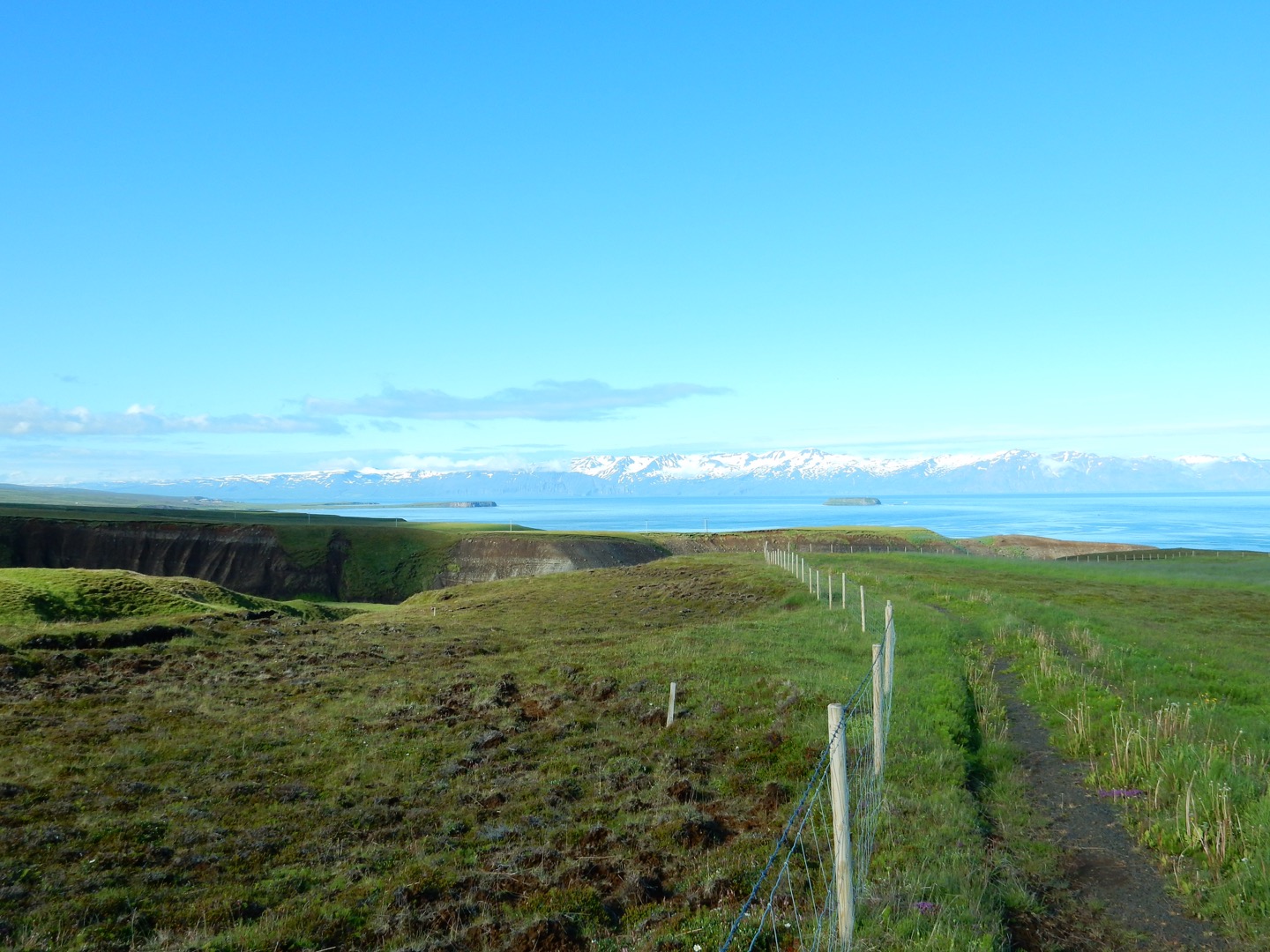
Finally, we got back to the Ring Road (Hwy-1) and continued inland leaving the north shore of Iceland This brought us up into a very desolate region with nothing but brown rocks. The Inn itself it was very desolate and very interesting. After a while we could see some green, moss, lichens and very small grass along the streams.
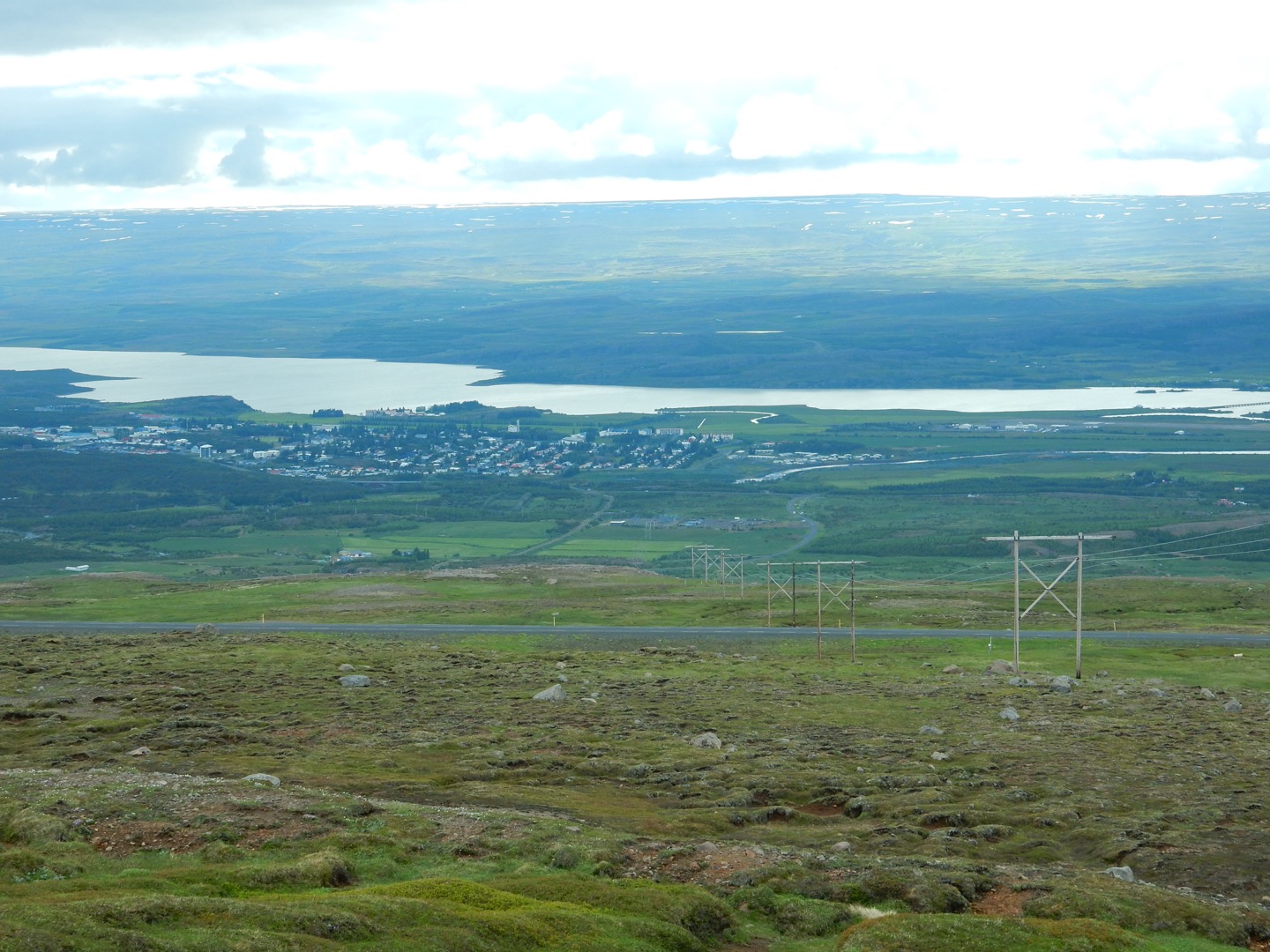
We did make to our destination, Eglisstaor – the largest town in this district in the NE of Iceland. This region does have reindeer but they are up in the mountains in the summer and come down in the winter. The reindeer were imported about 250 +/- years ago and do quite well here.
After we checked in at the hotel we decided to go over to a small fishing village on the coast – Seydisfjorbur. Really a very pretty little town they have kept up very well. Cod and haddock are the primary fish that they catch then export to Europe and use for Icelandic consumption.
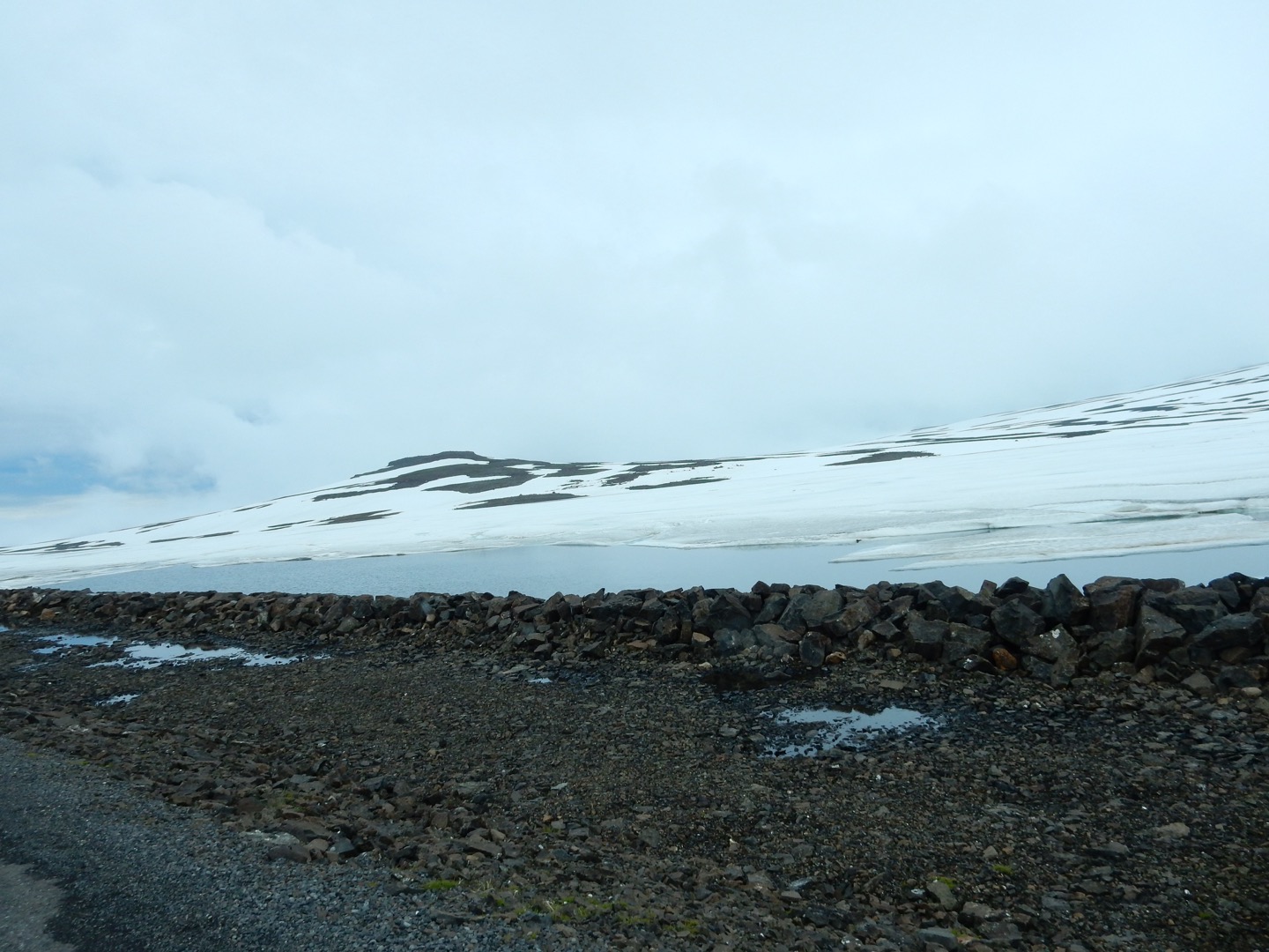
The trip, up and over a pass, was interesting in that the clouds were THICK at the top of the pass so very slow driving and they do not mark roads as we do! SO do not get off of the shoulder or you may not be found until??????
But, as we came down the pass into the village the valley walls were covered in waterfalls – counted, at one point, about 15 – they are not big, a meter or so wide, but thin strips of silver in the sun coming down the mountainsides. There was one GOOD sized fall in the middle. So poked around, headed back to Seydisfiorbur and got supper at a really nice place (Guesthouse in English) and back to the hotel for the evening.
Additional Information
Head for Öxarfjörður Bay, and if you are driving a 4×4, make a detour to Vesturdalur and Hljóðaklettar, also known as Echo rocks, a valley of extraordinary rock formations, carved by the river Jökulsá á Fjöllum streaming from Vatnajökull Glacier. There are numerous hiking trails for exploring the many wonders of Jökulsárgljúfur National Park.
Visit Ásbyrgi Canyon, a strange and spectacular, horseshoe-shaped canyon carved by the mighty Jökulsá á Fjöllum River. There is an excellent visitors’ centre at Ásbyrgi called Gljúfrastofa, where one can get detailed information on Ásbyrgi and the national park, including maps for hiking trails.
Continue south along a rather rough but scenic route to Dettifoss Waterfall, the most powerful waterfall in Europe. Proceed across the highland plateau to the town of Egilsstaðir, the largest town in East Iceland. Hallormsstaðaskógur, the largest forest in the country, and the legendary Lake Lagarfljót are nearby. Across Fjarðarheiði Pass is Seyðisfjörður, a small and picturesque fishing town and a ferry port that is certainly worth a visit.
Highlights:
Hljóðaklettar Rock Formations
Ásbyrgi Canyon
Jökulsárgljúfur Canyon
Dettifoss Waterfall
Photos